SUMMARY HAIKU
WTF approach
Went wrong way, got an F.A.?
Down climbed our ass off
WTF approach
Went wrong way, got an F.A.?
Down climbed our ass off
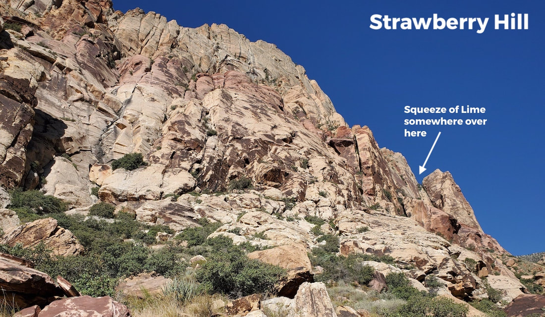
Well, you can't win them all. We planned to do "Squeeze of Lime" located on the far right end of Strawberry Hill and, damn it, we couldn't find the start!
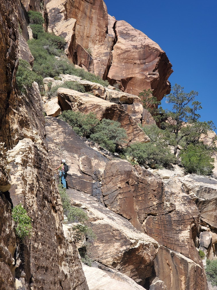
We were close, but the approach descriptions in Mountain Project said 3rd class scrambling. So when we were met with either 5th class right away or a very exposed 3rd class traverse, we chose the traverse. But then we kept hitting 5th class walls and we were like, WTF?!
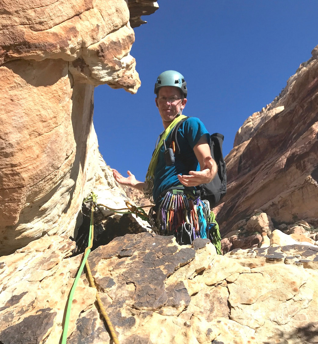
We knew the start of the climb was somewhere above us, but we weren't sure exactly where. So we just kept following the path of least resistance, climbing about 450 feet across traverses and up the 5th class terrain. It looked like there was a ledge at the top of where we were headed, so we decided to check it out and see if the ledge would take us to the start of the climb. To no avail. This is where the video below begins.
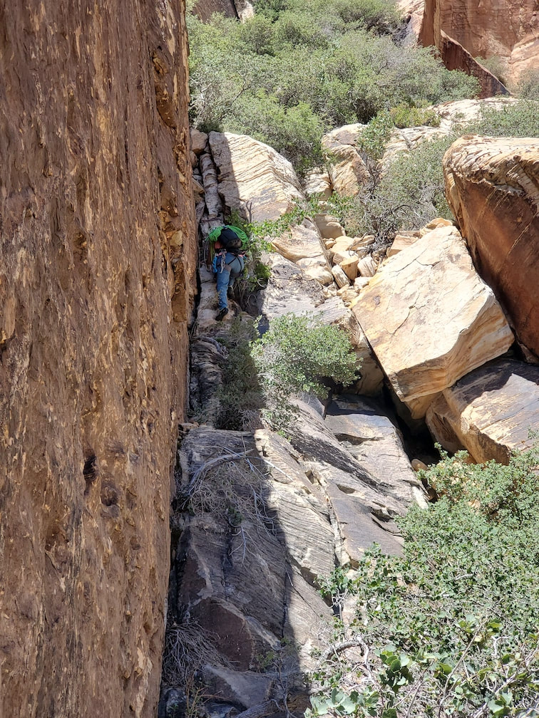
After nearly an 1.5 hours of climbing/traversing and a 1.5 hike in from the car, we knew time was against us and we were defeated. We were hoping that if we could connect with the climb, we could at least try to locate the approach we were supposed to do, but nope. So, we had to figure out how to get down. We looked around us and discovered the only way down was the way we came. So we down-lead about 450' exhausting feet... I think that's the most down-leading Rick or I have ever done. We were pretty freaking exhausted!
Climb Stats to Date
|
DATE OF CLIMB: June 7, 2020
WALLS HIT: 1 NUMBER OF CLIMBS TODAY: 0 (we ended up doing an F/A, but we didn't get one of the 5.7s done) NUMBER OF PITCHES TODAY: 0 (3) NUMBER OF FALLS: 0 NUMBER OF TAKES: 0 VERTICAL FEET CLIMBED TODAY: 0 (450' up, 450' down-climbing = 900') DIRTY UNDERWEAR ENCOUNTERED TODAY: 0 TOTAL CLIMBS SO FAR: 103 TOTAL PITCHES SO FAR: 141 (not counting the pitches we did today) TOTAL 5.7 VERTICAL FEET ON THE TOUR SO FAR: 12,100' NUMBER OF CLIMBS REMAINING: 134 (out of 237) VERTICAL FEET REMAINING: 38,707' DIRTY UNDERWEAR ENCOUNTERED TO DATE: 3 |
FALLS SO FAR: 0
TAKES ON LEAD SO FAR:
|
START & END TIMES:
|
